
DamScan™
Service Overview:
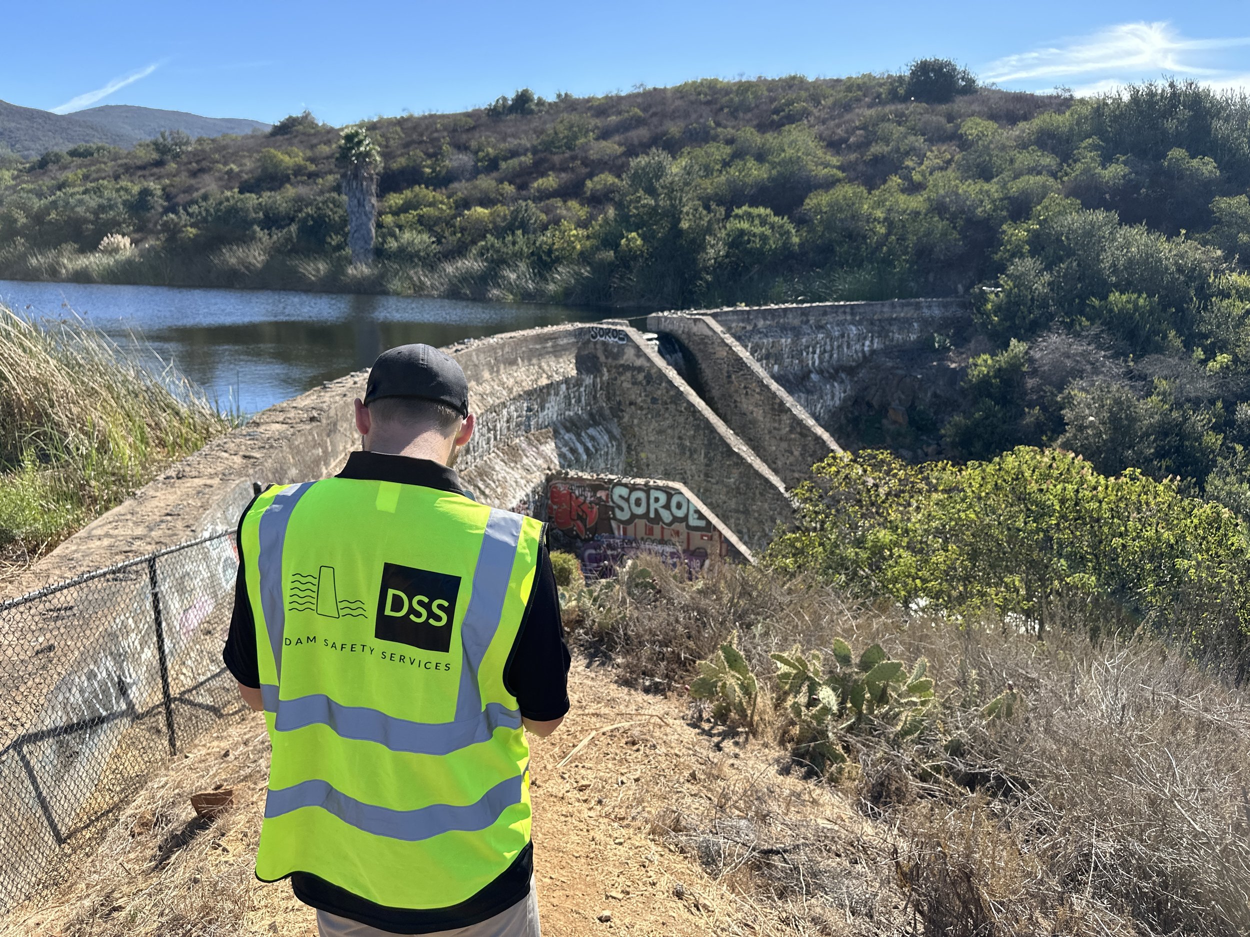
Improve your dam inspection and monitoring program with our advanced photogrammetric drone reality capture services. Traditional dam inspection methods are limited to handheld photos and notes, but our drone surveys offer a complementary and comprehensive site snapshot of the dam and its appurtenant structures. This service is ideal for routine inspections, early anomaly detection, damage assessments, construction monitoring, modification planning, and environmental impact studies.
This service package is designed to offer a comprehensive and cost-effective solution for dam safety inspections, utilizing advanced drone technology to provide high-quality deliverables and detailed analyses.
Let's work together to Make Dams Safer!
Deliverables:
1. 3D Photogrammetric Model
2. Orthomosaic Image
3. Engineering Grade Contour Mapping
*1-foot contour intervals
*In non-vegetated areas
4. Summary Processing Report
Schedule:
• Data processing for deliverables is expected to take approximately 30 days from the completion of the site visit.
Assumptions and Limitations:
• Assumes the dam or levee is less than two (2) linear miles and less than 100 acres in area captured.
• Reviewed by a licensed professional civil engineer.
• All travel and accommodations are included within the continental United States.
• Survey will be conducted with a NDAA-compliant drone.
• Vegetation shall be mowed no more than one week prior to the drone flight.
• 50% billed upon completion of the drone flights. Remaining 50% billed upon completion of data processing.
• Additional interior, lidar, or bathymetry services are available at an additional cost.
• Weather forecast will be confirmed prior to mobilization. Rain or other inclement weather may cause delays to the on-site services.
• Ground control points will be collected using survey-grade RTK GPS to georeference the model.
• Flown for a target 1-Inch Ground Sampling Distance (up to 1 mm GSD can be quoted separately).
• Typical model accuracy with a 1-Inch GSD data collection is up to 2 inches horizontally and up to 3 inches vertically.
• Dam Safety Services will name the client as additionally insured on our general liability, auto, commercial drone, and professional liability policies.
• Dam Safety Services will conduct pre-site safety and drone notifications a minimum of one week prior to mobilization.
• Client is responsible for any required site-specific client notification.
Service Overview:
Improve your dam inspection and monitoring program with our advanced photogrammetric drone reality capture services. Traditional dam inspection methods are limited to handheld photos and notes, but our drone surveys offer a complementary and comprehensive site snapshot of the dam and its appurtenant structures. This service is ideal for routine inspections, early anomaly detection, damage assessments, construction monitoring, modification planning, and environmental impact studies.
This service package is designed to offer a comprehensive and cost-effective solution for dam safety inspections, utilizing advanced drone technology to provide high-quality deliverables and detailed analyses.
Let's work together to Make Dams Safer!
Deliverables:
1. 3D Photogrammetric Model
2. Orthomosaic Image
3. Engineering Grade Contour Mapping
*1-foot contour intervals
*In non-vegetated areas
4. Summary Processing Report
Schedule:
• Data processing for deliverables is expected to take approximately 30 days from the completion of the site visit.
Assumptions and Limitations:
• Assumes the dam or levee is less than two (2) linear miles and less than 100 acres in area captured.
• Reviewed by a licensed professional civil engineer.
• All travel and accommodations are included within the continental United States.
• Survey will be conducted with a NDAA-compliant drone.
• Vegetation shall be mowed no more than one week prior to the drone flight.
• 50% billed upon completion of the drone flights. Remaining 50% billed upon completion of data processing.
• Additional interior, lidar, or bathymetry services are available at an additional cost.
• Weather forecast will be confirmed prior to mobilization. Rain or other inclement weather may cause delays to the on-site services.
• Ground control points will be collected using survey-grade RTK GPS to georeference the model.
• Flown for a target 1-Inch Ground Sampling Distance (up to 1 mm GSD can be quoted separately).
• Typical model accuracy with a 1-Inch GSD data collection is up to 2 inches horizontally and up to 3 inches vertically.
• Dam Safety Services will name the client as additionally insured on our general liability, auto, commercial drone, and professional liability policies.
• Dam Safety Services will conduct pre-site safety and drone notifications a minimum of one week prior to mobilization.
• Client is responsible for any required site-specific client notification.